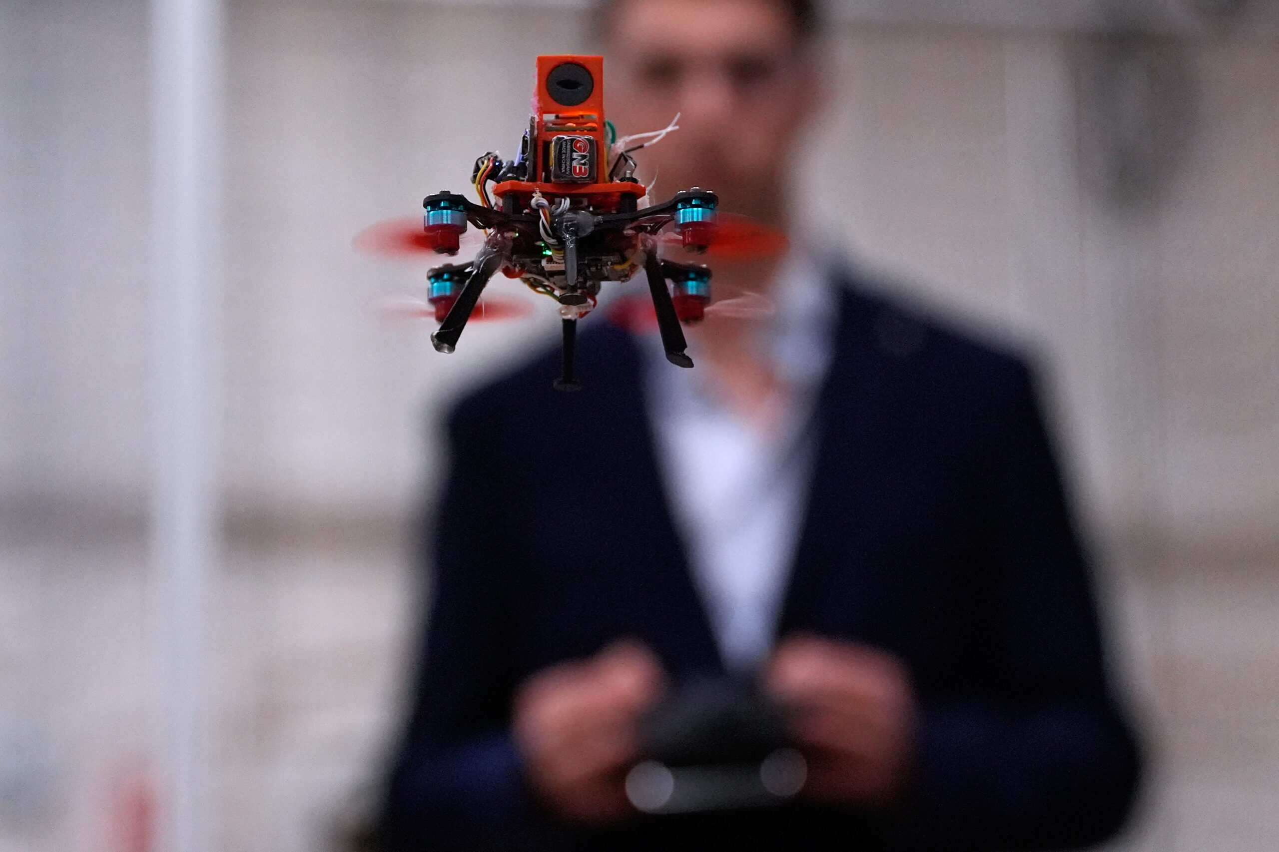
Tech University Students Think Tiny Drones Inspired by Bats Could Save Lives November 6, 2025 By Holly Ramer Don’t be fooled by the fog machine, spooky lights and fake bats: the robotics lab at Worcester Polytechnic Institute lab...
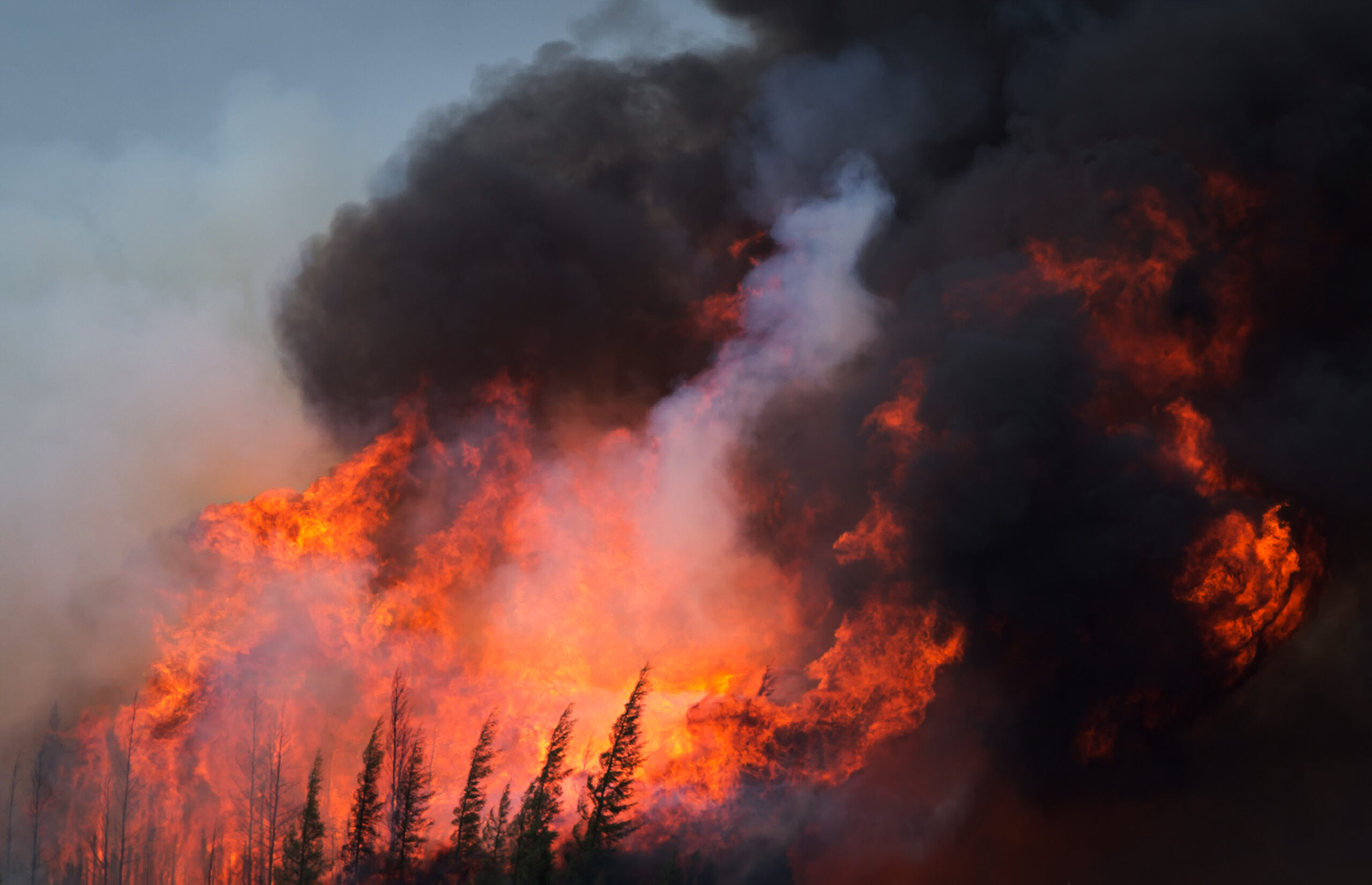
Drones Offer an Unparalleled View of the Biggest Wildfire Risks December 5, 2024 Spotting dead and downed trees that can fuel explosive fires is like searching for a needle in a haystack for...
Verisk to Provide Aerial Imagery of Major Catastrophes through Geomni October 1, 2018 Verisk is now offering customers free access to Geomni’s high-resolution aerial imagery following major loss events. Geomni is a Verisk...
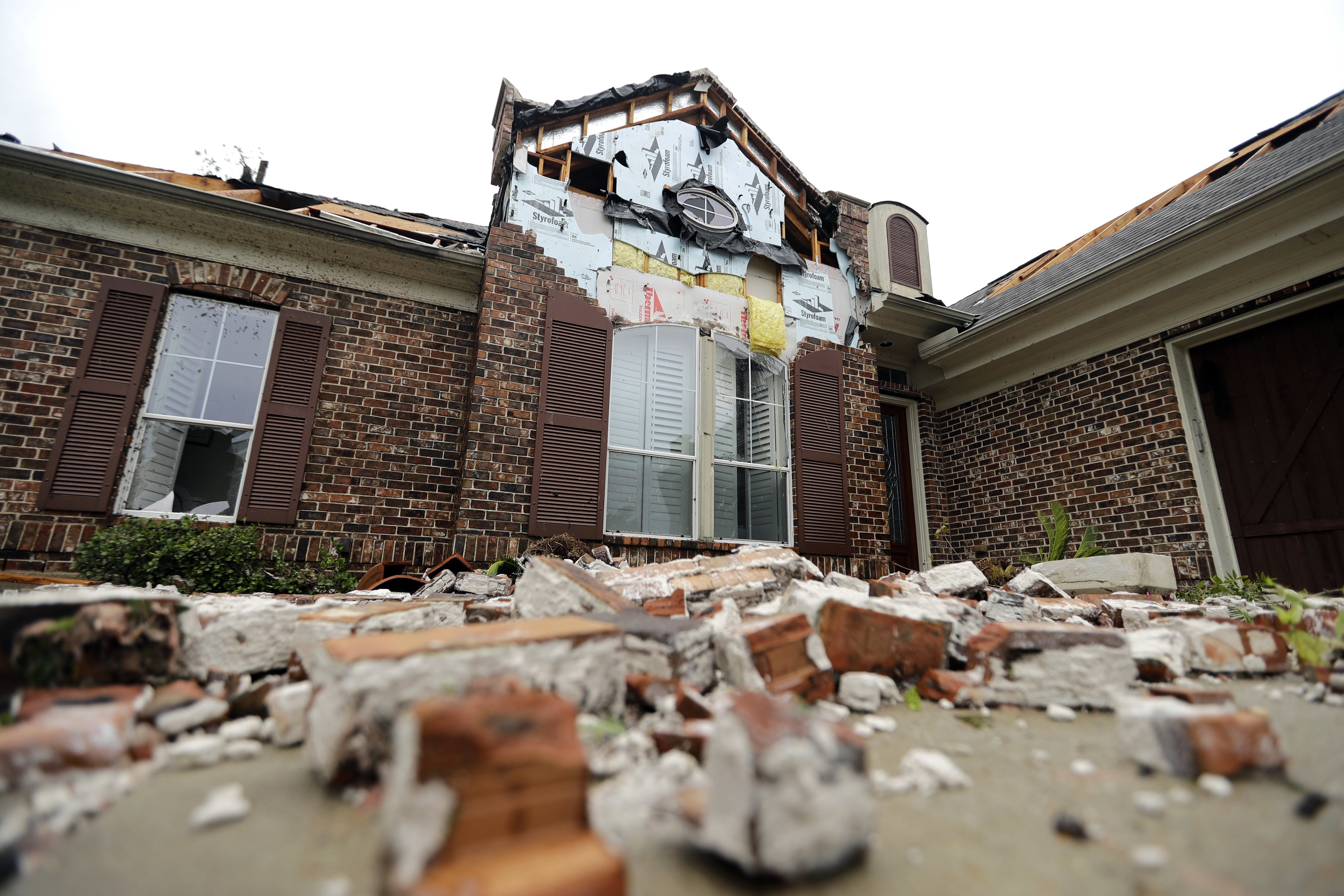
Insurers Rush to Find, Deploy Adjusters for Harvey, Irma Claims September 11, 2017 By Suzanne Barlyn and Catherine Ngai Insurers are scrambling to find inspectors in Texas and Florida after fierce hurricanes battered the states one after the other,...
West Virginia Purchases Second Drone to Assess Natural Disaster Damage August 6, 2015 West Virginia’s Department of Transportation has purchased its second drone. The Charleston Gazette reports that the $3,500 drone will be...
Insurers Urge Faster OK for Drones in Disaster Response April 21, 2015 U.S. companies including insurers and aerospace manufacturers urged federal aviation regulators on Tuesday to speed up the use of drones...