
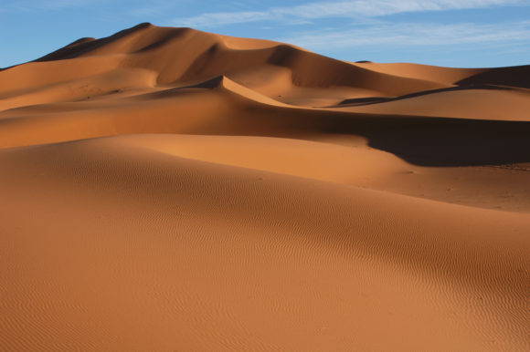
Dry air from the Sahara that’s carrying enough dust it can be seen from space is preventing thunderstorms over the Atlantic from strengthening into powerful tropical systems.
The system sits hundreds of miles southeast of the Lesser Antilles, an arc of islands that separates the Caribbean Sea from the central Atlantic. There’s a 40% chance one or more of the thunderstorms may become a tropical depression or storm in the next five days, down from 70% from Thursday, according to the U.S. National Hurricane Center in Miami.
“There is a pretty expansive dust layer on its north side, and that is going to continue to be an issue,” said Max Vido, a meteorologist with AccuWeather Inc. in State College, Pennsylvania, in a telephone interview.
Scientists have long studied how the Sahara, the Earth’s largest hot desert, affects storms in the Atlantic. Its dry, dusty air can sap storms of their much needed moisture, leaving them to wither and potentially choking off their lives.
Vido said there are two more tropical waves further to the east that could turn into the buds of storms, but they too will have to contend with less than ideal conditions in the atmosphere and “a lot of dry Saharan dust.”
“In general, the basin is still pretty hostile for development,” Vido said.
Of course, this could change in just a few weeks. The Atlantic’s most active weeks fall between Aug. 20 and the first week of October.
Was this article valuable?
Here are more articles you may enjoy.
 Rhine Rises After Rain, but Low Levels Continue to Hinder Shipping
  Air Taxi Service Across Parts of Florida Moving Closer to Reality
  Walmart Removes Four Taylor Farms Salads as Recalls Spread
  London Broker Howden Plots Giant Capital Raise on IPO Path