
The latest bulletin from the National Hurricane Center in Miami, issued at 5:00 A.M. EDT, locates the center of Tropical...
National Hurricane Center News
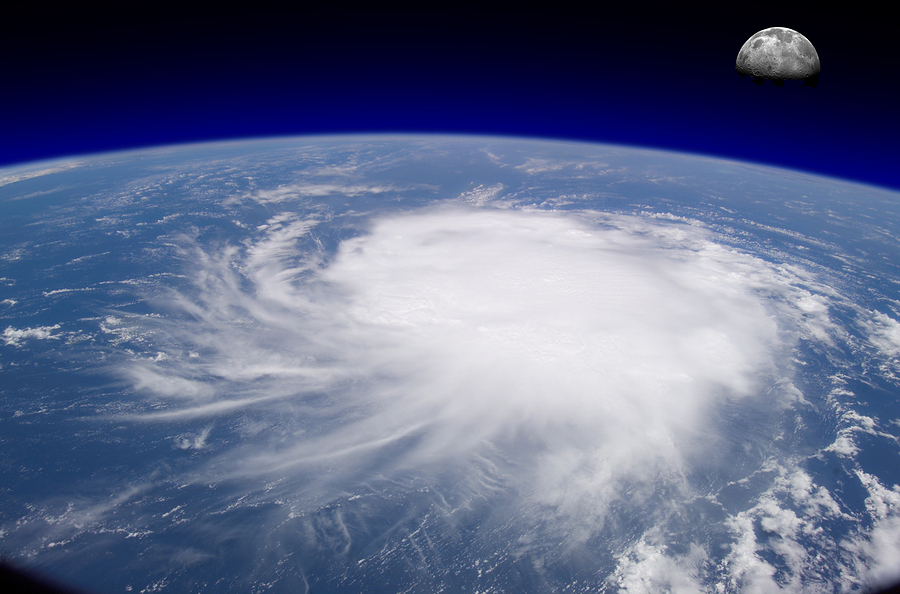
The National Hurricane Center in Miami is tracking a low intensity disturbance in the Atlantic, topical depression two. It is...
Forecasters at the National Hurricane Center hope new color-coded maps they’re trying out this year will simplify two important points...
The National Hurricane Center has added one subtropical storm to last year’s tally of tropical weather. Forecasters said that as...
Superstorm Sandy set several records and was unusual in even more ways. Here are 12 strange weather features of Sandy:...
It was the moment a run-of-the-mill hurricane mutated into a monster named Sandy. Paradoxically, it was the same time Sandy...
The National Hurricane Center in Miami is currently tracking Tropical Storm Erin – the fifth named storm of the season...
The remnants of what was Tropical Storm Flossie are currently northwest of Kauai and moving away from the islands at...
The National Hurricane Center’s bulletin, issued at 5:00 AM AST, notes that Tropical Storm Chantal has become much weaker since...
The National Hurricane Center’s most recent bulletin, released at 5:00 AM AST, places Tropical Storm Chantal in the Atlantic Ocean,...