
Virginia emergency management officials have created a new tool to help coastal residents assess the risks of rising water in...
storm surge warnings News
Forecasters at the National Hurricane Center hope new color-coded maps they’re trying out this year will simplify two important points...
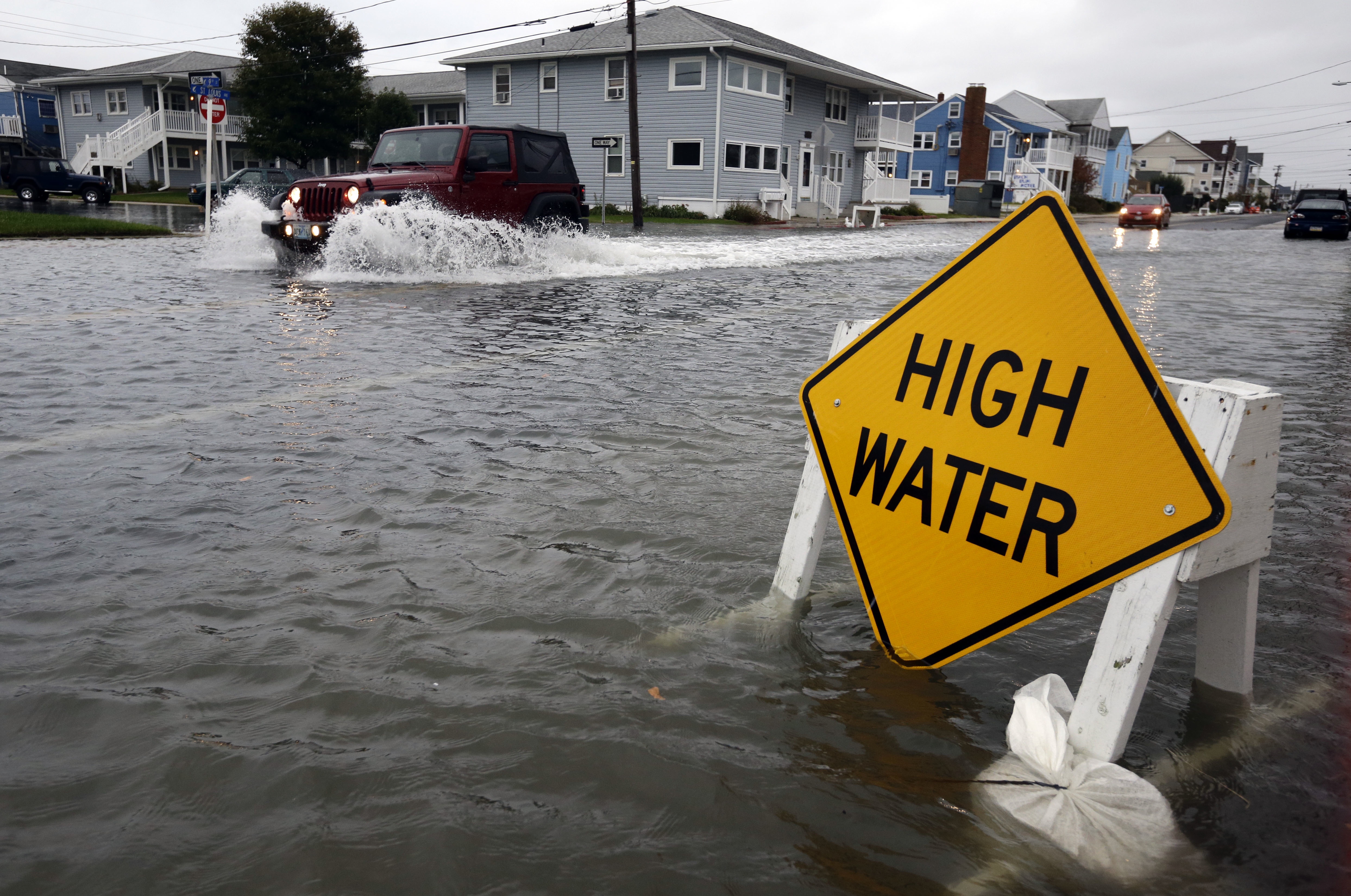
Friday marks the end of an Atlantic-Caribbean hurricane season where the greatest devastation was caused by water rather than wind,...