Early in 2007 the flood maps were redrawn for Findlay Ohio. Many people were informed they no longer needed flood insurance and of course they cancelled their coverage. HOWEVER in August 2007 Findlay had a major flood. Those properties which were taken out of the flood zone were inundated. Findlay is still dealing with the aftermath. So, I am not sure the flood maps are all that valuable.
Diane, I am not sure why IJ has to publish every story with a negative twist on the Trump Administration. He is busy MAGA and doesn’t deserve this treatment.
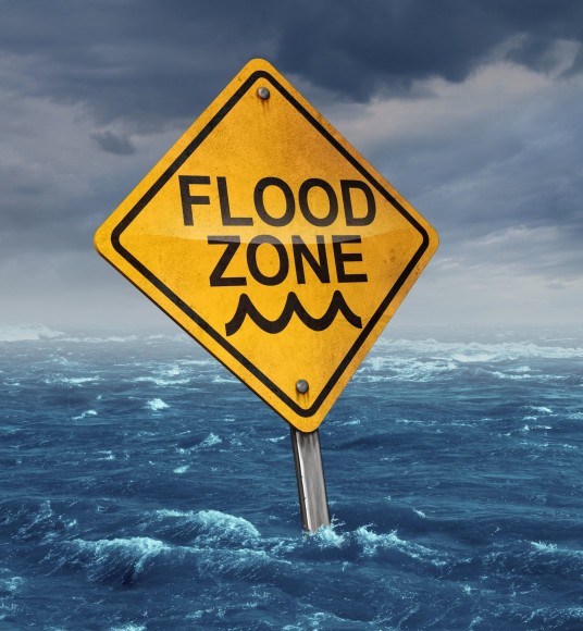
Diane, it is very unfortunate that this situation occurred. Without debating who was provided what type of information, I would like to make a few points for citizens to consider. First, the “flood zone” that you are referring to represents the flood extents created by a 1% annual chance event (or 1% chance of occurring in a given year). It represents the high risk areas with a potential for flooding. It was selected as the common basis for rating flood insurance premiums based on risk (like any type of insurance) and it is applied across the country. Second, the citizens were not removed from the flood zone, they were mapped from the “high risk” area to the “low risk” area. Third, larger floods than the 1% annual chance flood are possible and do occur. In reality, everyone lives in a floodplain. I would like to add that risk communication can and should be better so that homeowners can make more informed decisions. I also think homeowners should take responsibility in learning about the risk of flood (or any other risk). However, the norm seems to be homeowners dropping flood insurance coverage as soon as they realize they can. After all, who doesn’t want to save money. If car insurance wasn’t required to drive, I always wondered what percentage of the population would let their policies lapse only to run into larger financial issues if they were ever involved in an accident.

Early in 2007 the flood maps were redrawn for Findlay Ohio. Many people were informed they no longer needed flood insurance and of course they cancelled their coverage. HOWEVER in August 2007 Findlay had a major flood. Those properties which were taken out of the flood zone were inundated. Findlay is still dealing with the aftermath. So, I am not sure the flood maps are all that valuable.
Diane, I am not sure why IJ has to publish every story with a negative twist on the Trump Administration. He is busy MAGA and doesn’t deserve this treatment.
Diane, it is very unfortunate that this situation occurred. Without debating who was provided what type of information, I would like to make a few points for citizens to consider. First, the “flood zone” that you are referring to represents the flood extents created by a 1% annual chance event (or 1% chance of occurring in a given year). It represents the high risk areas with a potential for flooding. It was selected as the common basis for rating flood insurance premiums based on risk (like any type of insurance) and it is applied across the country. Second, the citizens were not removed from the flood zone, they were mapped from the “high risk” area to the “low risk” area. Third, larger floods than the 1% annual chance flood are possible and do occur. In reality, everyone lives in a floodplain. I would like to add that risk communication can and should be better so that homeowners can make more informed decisions. I also think homeowners should take responsibility in learning about the risk of flood (or any other risk). However, the norm seems to be homeowners dropping flood insurance coverage as soon as they realize they can. After all, who doesn’t want to save money. If car insurance wasn’t required to drive, I always wondered what percentage of the population would let their policies lapse only to run into larger financial issues if they were ever involved in an accident.