This article is part of a sponsored series by Cotality.
This blog post is part of a series sponsored by CoreLogic.
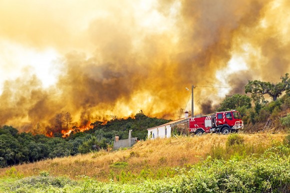
Natural disasters can happen anywhere and at any time, but they often show allegiance to a particular location and geography. Hurricanes hit most frequently along the Atlantic and Gulf coasts, sinkholes swallow homes in Florida, and wildfires wind through the western U.S. states. This consistent tendency has shifted insurers to start considering a by-peril rating approach over an aggregated rating, as published in a recent article in Insurance Innovation Reporter.
With by-peril rating, the novelty is that insurers can price a policy according to the causes of loss that represent the greatest threat to that particular property. For example, a homeowner with property in California would pay a higher premium for fire perils and lower premiums for hurricane, since California by geography, is more susceptible to wildfire. By-peril rating allows carriers to rate each risk by the mixture and magnitude of natural hazards affecting it. Essentially, by-peril rating provides more granularity.
But, a significant challenge that insurers face today is getting to that level of specific data for improved accuracy in their underwriting. Assessing risk at the most granular level allows insurers to clearly understand how certain perils affect a specific property, and one way to achieve this is to leverage natural hazard risk scores available through RiskMeter Online™. Users can quickly receive individual risk scores for the following hazards, simply by entering an address:
- Flood
- Coastal Storm
- Wildfire
- Lightning
- Storm Surge
- Hurricane, Tornado and Straight Line Wind
- Hail
- Sinkhole
Take the case of a large insurance broker who ordered CoreLogic Flood Risk Score (FRS) for an Oklahoma property slated for new construction. The broker initially obtained a flood report from a competitor, and the report returned a zone X for the property—not located in a Special Flood Hazard Area. When CoreLogic ran this very same address against FRS, zone X was also returned. However, the granularity of the CoreLogic report revealed that the build area was classified as “High Risk” as it was located only 13 feet from a flood zone. This important assessment was critical for the developer, who planned to build a hospital on this parcel of land, who was then able to elevate the building to minimize the flood risk. Additionally, CoreLogic FRS allowed the insurance broker to clearly understand the flood risk which enabled offering the most appropriate policy pricing for the building.
Some insurers may be concerned about by-peril rating at the point of sale, while others want to check their overall exposure. With RiskMeter Online batch processing, users can upload a file of up to 5,000 policies at a time, and append multiple hazard scores to each policy—flood, hail, sinkhole, etc. Data is returned in Microsoft® Excel format, allowing insurers to sort by score and quickly see which policies are at risk across a range of perils.
Topics Catastrophe Carriers Wildfire Flood Property
Was this article valuable?
Here are more articles you may enjoy.


 Allstate Doubles Q4 Net Income While Auto Underwriting Income Triples
  Chubb CEO Greenberg on Personal Insurance Affordability and Data Centers
  The $3 Trillion AI Data Center Build-Out Becomes All-Consuming for Debt Markets
  Chubb Posts Record Q4 and Full Year P/C Underwriting Income, Combined Ratio

