A task force has been formed with the aim of saving the main highway on North Carolina’s Outer Banks from storms, erosion and sea level rise.
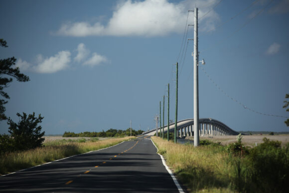
The Virginian-Pilot reported that the task force will focus on protecting seven vulnerable spots along 67 miles of the narrow highway. It runs from Oregon Inlet to Hatteras Village and continues after a ferry ride to Ocracoke.
The group is made up of federal, state and local agencies. The highway constantly floods with ocean water or after heavy rains and high tides inundate the road. Tourists can sometimes be stranded, while emergency crews can be stymied.
Bobby Outten, Dare County manager and chairman of a subcommittee with the task force, said the road must be saved despite the challenges and costs.
The highway connects nine towns and villages. Tourism to the Outer Banks tourism also generates $1.2 billion a year.
Officials have had mixed success by building bridges, widening beaches and building bigger dunes.
The groups plans to prioritize the most vulnerable spots of the road and devise solutions to fix them.
“You can’t ask anybody for money if you don’t have a plan,” Outten said.
Topics Windstorm North Carolina
Was this article valuable?
Here are more articles you may enjoy.
 Berry Producer Driscoll’s Sued Over Alleged Greenwashing, Use of Forever Chemicals
  Two Years in, Ortiz Steps Down as CEO of Florida Re
  FDA Walks Back Positive Lab Test in Lettuce Cyclospora Outbreak
  Air Taxi Service Across Parts of Florida Moving Closer to Reality
 From This Issue