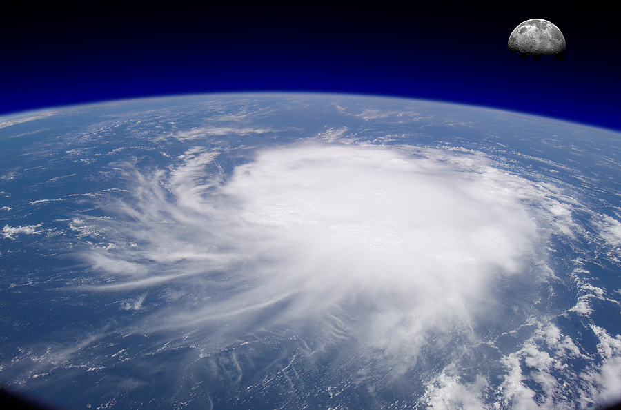
The 2012 Atlantic hurricane season is projected to be less active than in recent years with 11 tropical storms, six of which will intensify into hurricanes, U.S. private forecaster Weather Services International said on Wednesday.
Two of the six hurricanes will be major with winds of at least 111 miles (178 km) per hour, the Andover, Maryland-based forecaster said.
It said the 2012 forecast numbers were slightly below the adjusted long-term average for 1950-2011 of 12 tropical storms, seven hurricanes and three intense hurricanes.
The hurricane season in the Atlantic, Caribbean and Gulf of Mexico runs from June 1 through Nov. 30.
“After very active tropical seasons in 2010 and 2011, we expect fewer storms to develop this hurricane season,” said Todd Crawford, Weather Services International’s chief meteorologist.
WSI’s outlook for the season is in line with one issued earlier this month by the respected team of forecasters at Colorado State University.
As with Colorado State, Crawford said calls for a milder 2012 season were based on two factors. Hurricanes thrive on warm water and the Atlantic Ocean has cooled this year, he said.
He said there may also be a trend toward development of an El Nino effect this summer, fueling hopes for a “notable reduction” in tropical storm activity.
El Nino is a warming of sea surface temperatures in the tropical Pacific that occurs every four to 12 years and has far-ranging effects around the globe.
The weather phenomenon creates wind shear that makes it harder for nascent storms to develop into hurricanes in the Atlantic-Caribbean basin, but it also can produce drought and crop failure in parts of South Asia and unseasonably wet conditions in western coastal areas of South America.
“There is still uncertainty regarding the development of El Nino, which will impact future (forecast) updates. If the chances of El Nino development increase, our forecast numbers will likely go down even further in future updates,” Crawford said.
STAY ON ALERT, COMMUNITIES URGED
He said there was no particularly strong landfall signal — signs that storms could affect land — for 2012 so far. But residents of vulnerable Gulf coast communities, and energy and oil producers in the U.S. Gulf oil patch, should be wary.
“For 2012, our landfall model predicts slightly below-normal probabilities of landfall from Florida and up the East Coast, with slightly above-normal probabilities in the Gulf,” Crawford said.
Colorado State University forecasters, in their outlook issued on April 4, predicted 10 tropical storms in the 2012 Atlantic hurricane season, with four strengthening into hurricanes.
Of those, they said two would become major hurricanes with sustained winds reaching Category 3 or greater status on the Saffir-Simpson intensity scale and powerful enough to cause devastating damage.
The 2011 Atlantic hurricane season saw a total of 19 named or tropical storms of which seven became hurricanes, including three major hurricanes.
Irene was the lone hurricane to hit the United States in 2011, but it was first one to do so since Hurricane Ike struck southeast Texas in 2008. Irene was also the most significant tropical cyclone to strike the Northeast since Hurricane Bob in 1991, according to U.S. government forecasters.
(Reporting By Tom Brown; Editing by Cynthia Osterman)
Topics USA Trends Catastrophe Natural Disasters Windstorm Hurricane
Was this article valuable?
Here are more articles you may enjoy.


 Palm Beach Billionaires Feud Over Who’s Really Protecting the Everglades
  Are ‘Moderate’ Hurricanes Getting Squeezed Out of the Atlantic?
  Oil Trader CFOs Say Hormuz Closure Driving Wave of Disputes
  State High Court Weighs in on Woman Taken for Organ Donation But Was Still Alive

