
The free digital tool that the US government gives communities to help evaluate local risks from 18 natural hazards is getting a makeover.
The Federal Emergency Management Agency introduced the National Risk Index last summer. Aimed primarily at planners and emergency managers, its purpose is to help them identify communities currently at most risk from climate-related dangers like flooding and hurricanes, due to their geographic location and the relative vulnerability of their population. Members of the public can also use the index to better understand the risks they and their neighbors face.
The latest version of the tool, first made available to Bloomberg, integrates more detailed data on social variables like race, income, disability and English language proficiency, which may affect people’s ability to be resilient in the face of catastrophe.
FEMA Administrator Deanne Criswell said in a written statement that the update will be “invaluable to targeting support to communities most in need of resilience” and to helping them reduce impacts from disasters.
The risk index is separate from another tool introduced by FEMA, Argonne National Laboratory and AT&T last year, the Climate Risk and Resilience Portal or ClimRR, which looks at how risk will change over the course of coming decades due to global warming.
The new version of the index integrates the Centers for Disease Control and Prevention’s Social Vulnerability Index, which analyzes census tracts to flag 14 vulnerabilities including high poverty rate, high share of households with elderly or disabled people and low access to affordable housing or transportation. Communities with a higher concentration of flags have a higher vulnerability rating.
It also incorporates the most recent census information — in part to reflect the swelling of population in high-risk areas like coastal Florida — and adds new data sets on hazard-specific threats like coastal flooding, earthquakes and tornadoes.
Officials in a high-altitude community in Colorado could learn from the index to be prepared for a relatively high incidence of roof damage from hail, for example.
Casey Zuzak, a senior risk analyst with FEMA, said the update would benefit planning. It could allow states, for example, to prioritize evacuation routes for islands at risk of coastal flooding.
It could also help communities to better secure resources themselves. That’s in part because FEMA’s grant program for building resilient infrastructure and communities, which had a budget of over $2 billion for its last funding cycle, considers this social vulnerability information for applications and this tool puts it all in one easily accessible place.
Past projects to receive such grants include a microgrid for an Indian reservation with intermittent power, water storage expansion for a community at risk of drought, and earthquake-proofing retrofits at a hospital in a quake-risk area.
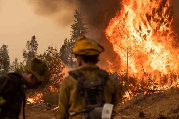
Photo: Firefighters watch a backfire operation during the Mosquito fire near Volcanoville, California, US, on Friday, Sept. 9, 2022 (Bloomberg).
Topics FEMA
Was this article valuable?
Here are more articles you may enjoy.
 Ryanair Passenger Partly Sucked From Jet After Window Breaks
  Clash of Florida Titans Pits Powerful Tribe Against Homebuilder Lennar
  Remember the Fall of Patriot National? Trial in Suit vs. Mariano’s Lawyers to Begin
  Damaged Manhattan Tower Owner to Reconstruct 15 Floors After Evacuation