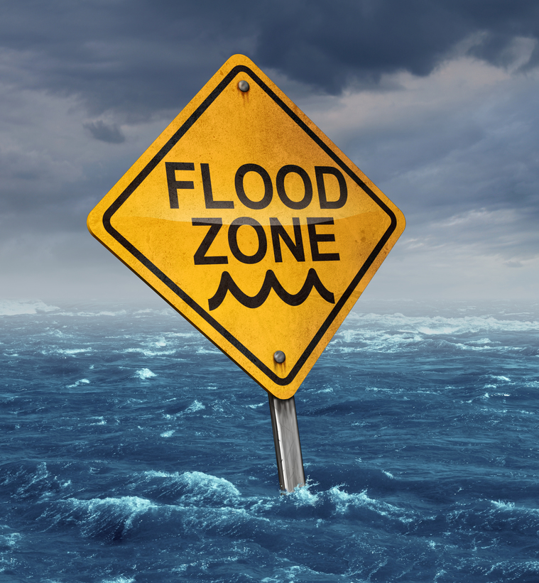
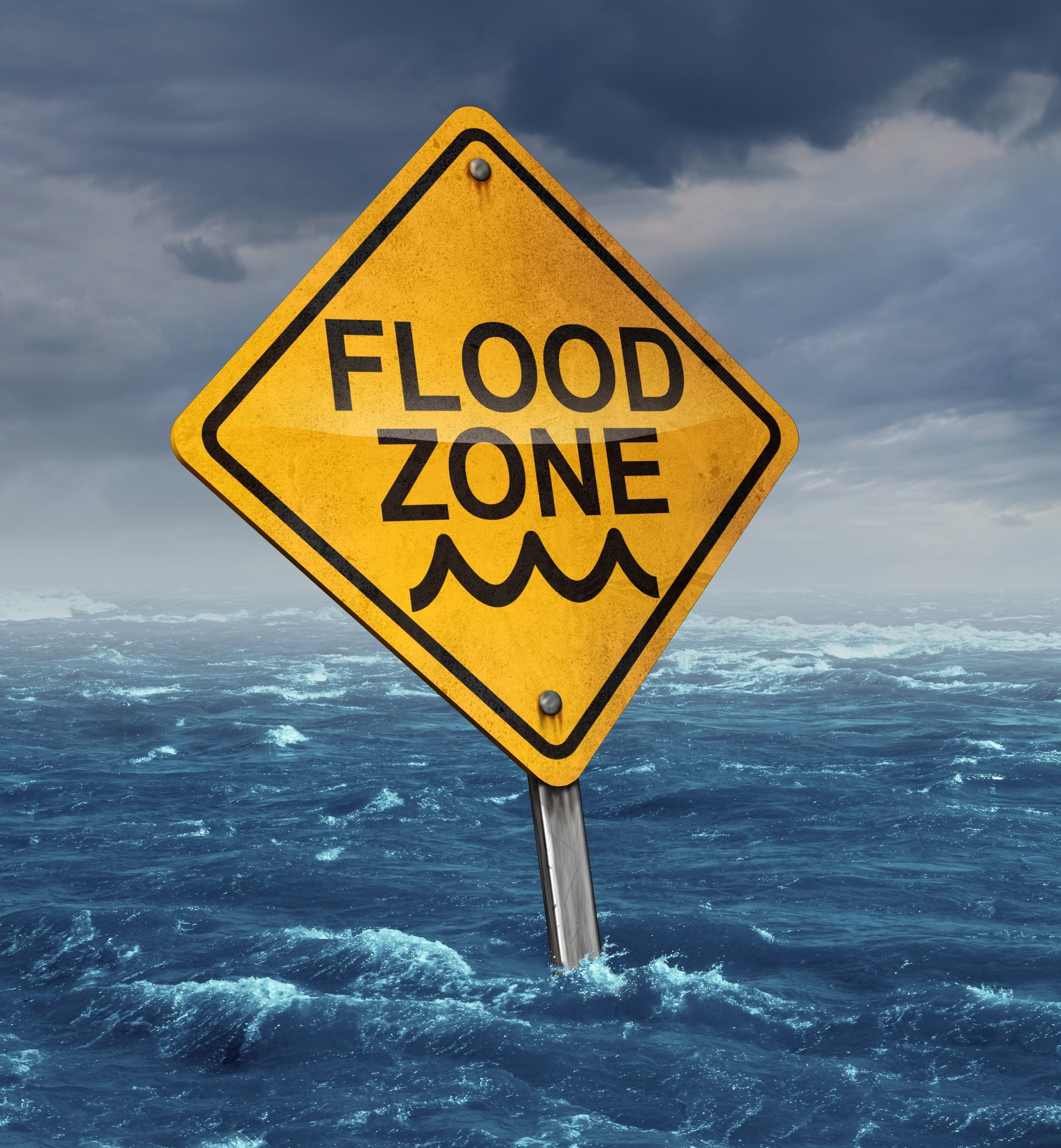
Insurers Warn Canada’s Moving Too Slowly on Flood Mapping May 6, 2021 By Steve Scherer OTTAWA – Canada plans to focus its next budget on tackling climate change and its effects but the insurance industry,...
Government-Produced Flood Maps May Have Underestimated Properties at Risk June 29, 2020 By Leslie Kaufman First Street Foundation, a nonprofit agency, is making accurate climate change-adjusted flood scores available for every property in the U.S....
Willis Research Network Partners with ‘Cloud to Street’ to Raise Flood Resilience May 6, 2020 The Willis Research Network (WRN) has formed a new partnership with “Cloud to Street,” a global flood-mapping and monitoring platform...
Canada Government Must Move Quickly to Map Flood Risks, Insurers Warn March 5, 2020 By Steve Scherer Canada plans to focus its next budget on tackling climate change and its effects but the insurance industry, amid skyrocketing...
Scientists Vow to Report Flood Risk for Every U.S. Property for Free June 14, 2019 In a major research undertaking, a group of scientists and a technology nonprofit technology organization have set a mission to...
Special Reuters Report: The High Cost of Building in High Flood Risk Areas December 12, 2017 By Benjamin Lesser and Ryan McNeill When Hurricane Harvey sent two feet of water rolling into this small community about 35 miles north of Houston, Alfredo...
Floodplain Changes Approved for North Carolina Beach Community April 18, 2017 North Carolina’s floodplain mapping officials have approved an appeal of severe flood zone restrictions for a beach town, meaning property...
Consumer Group Warns on Trump Budget Cut of Flood Map Funds March 21, 2017 By Suzanne Barlyn A proposal by the Trump administration to cut $190 million in funding for updating U.S. maps of flood-prone areas would...
Private Flood Insurance a Focus for Pennsylvania Insurance Department in 2017 December 8, 2016 By Elizabeth Blosfield The Pennsylvania Insurance Department has a plan to continue furthering its initiatives within the private flood insurance market in 2017....
New FEMA Flood Maps Bring Some Relief to New Jersey Coast June 18, 2013 More than seven months after Superstorm Sandy devastated parts of the Jersey shore, thousands of homeowners are getting some relief...