

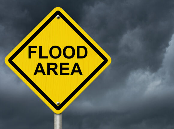
Across the Northeast and Mid-Atlantic, insurance carriers are advising agents not to bind any new business, cities and states have activated their emergency response systems and urged residents to stay indoors, crews for energy providers like National Grid are on standby to respond to power outages cause by felled trees and high winds, municipalities are clearing storm drains, contractors are securing construction sites and equipment, state regulators have launched portals to assist property owners who may need to file insurance claims, and the U.S. Coast Guard and port authorities are urging all mariners to remain in port or secure their vessels given gale force wind warnings.
This is all as the region begins to experience the onslaught of a rare fall Nor’easter with heavy rains, coastal flooding, and wind gusts up to 60–70 mph that could continue through Sunday. The storm is expected to peak tonight and all day Saturday.
“Our much anticipated nor`easter is on our doorstep this morning, expected to bring increasingly gusty winds through the day ahead of a prolonged stretch of wet and windy conditions through the weekend,” the U.S. Weather Service reported this morning. “A strong Nor`easter will bring a prolonged period of rain, rough seas, strong winds, and coastal flooding/beach erosion starting today and continuing through the weekend.”
Or as the U.S. Weather Service has described in meteorological language what lies ahead:
“An upper-level trough digging into the eastern U.S. will interact with a cool air mass sliding east into the western Atlantic to strengthen a Nor’easter just off the East Coast over the next few days. The cool air will be moistened and lifted by the digging upper trough as a large high pressure system feeds that cool air across the still warm waters of the western Atlantic.”
This system will dump a lot of rain over the next 72 hours, on the order of 3-5 inches and up to 8 inches in some coastal area. The heaviest rainfall is expected over eastern Massachusetts and Rhode Island.
The strongest winds are still expected to be experienced along the coast, especially Cape Cod and the islands. The weather service noted that the timing of this storm before trees have lost their leaves will exacerbate impact from broken limbs and increase the potential for power outages.
As for coastal flooding, the greatest concern is for the east coast of Massachusetts, especially south of Boston. Coastal flood warnings are effect across parts of Virginia, New Jersey, New York, and Massachusetts. High tides could cause 1 to 3 feet of inundation in low-lying areas and waves could rise to as high 20 feet in some coastal zones.
The Weather Service added that flooding could be mitigated by the long duration of the event, though pockets of urban and poor drainage flooding are possible.
“Nor’easters aren’t new for New England, but not usually in September, so we’re taking extra preparations to connect with all our residents about this rare fall nor’easter,” said Boston Mayor Michelle Wu. “We urge residents and families to take all necessary precautions to stay indoors and safe during the storm.”
“City workers are clearing catch basins, preparing for downed trees and positioning emergency resources in areas that could see coastal flooding,” said New York City Mayor Zohran Kwame Mamdani . “If you’re traveling this weekend, give yourself extra time, check your train, ferry or flight before you head out and stay off low-lying coastal roads around high tide. If you live in a basement apartment, know your way out and be ready to move to a higher floor if conditions become dangerous.”
He added: “Look out for your neighbors.”
Was this article valuable?
Here are more articles you may enjoy.
 Friend of Suspected FBI Data Thief: ‘Crazy’ Teen Warned Not to Hack Bureau
  NYC Restaurants Shut Off Air Conditioning, Close on Sundays as Costs Surge
  Supervisor’s Punching of Employees Enough for Tort Suit, NC Appeals Court Says
  Viewpoint: The ‘Unbundled’ Insurer Emerges in Age of AI as Value Chain Fragments

