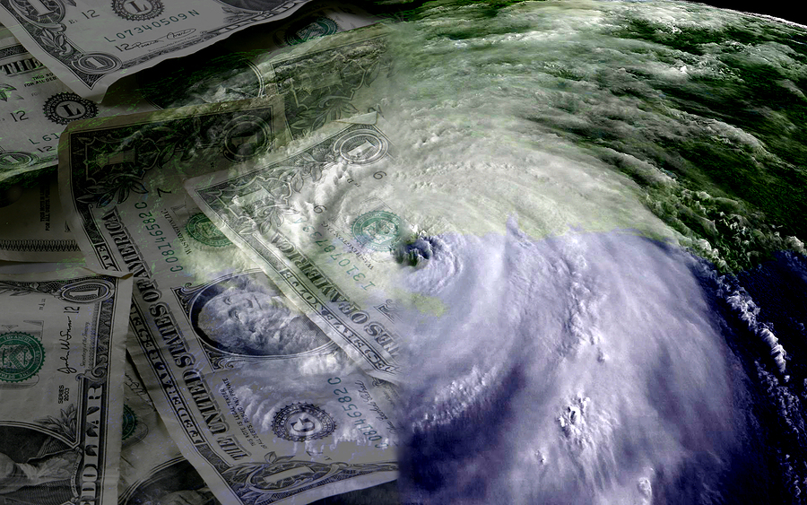
When forecasters from the National Weather Service track a hurricane, they use models from several different supercomputers located around the world to create their predictions.
Some of those models are more accurate than others. During Hurricane Sandy last October, for instance, the model from the European Center for Medium-range Weather Forecasting in the United Kingdom predicted eight days before landfall that the large storm would hit the East Coast, while the American supercomputer model showed Sandy drifting out to sea.
The American model eventually predicted Sandy’s landfall four days before the storm hit — plenty of time for preparation — but revealed a potential weakness in the American computer compared to the European system. It left some meteorologists fuming.
“Let me be blunt: the state of operational U.S. numerical weather prediction is an embarrassment to the nation and it does not have to be this way,” wrote Cliff Maas, a professor of atmospheric sciences at the University of Washington on his weather blog.
Meteorologists agree that the two American supercomputers that provide storm models are underpowered — which is why the National Weather Service plans on upgrading those computers in the next two years. The two main forecasting computers — one in Orlando, Fla. and the other in Reston, Va., — will receive $25 million in upgrades as part of the Hurricane Sandy supplemental bill that was recently approved by Congress.
“This will improve weather forecasting across the board,” said Christopher Vaccaro, a spokesman for the National Oceanic and Atmospheric Administration. “Certainly one area of concern that has received some attention were these larger high-impact extreme weather events. The European model is able to pick up on those storms earlier than our model.”
Jeff Masters, meteorology director at the online forecasting service Weather Underground, said that other than Hurricane Sandy, the American model outperformed the European model during the 2012 hurricane season — but if you look at a three-year period, the European model still comes out on top.
“If the U.S. did invest more money and people into making the model better, then the forecast would be better,” Masters said. “The money we spend on weather forecasts and improving them pays for itself.”
Still, with hurricane season starting Saturday, forecasters say the average person living in a coastal area shouldn’t worry about the capability gap between the computers.
“I really could care less which is the better model because we have access to them both,” said James Franklin, branch chief of the hurricane specialist unit. “It’s immaterial to us.”
And forecasters say that hurricane modeling and forecasting has become more accurate overall in the last 10 years.
Forecasters at the National Hurricane Center in Miami use both American and European models — and other models — then average them together for a storm’s projected path. The computers take data from weather satellites, observations and weather balloons, then plug the data into complex algorithms.
The fact that the American supercomputer is lacking in processing power does need to be addressed. In the long run, improving its computing power will increase the overall quality of data for scientists drawing from multiple sources.
“You want to have the best information possible when you’re trying to decide what to do,” Masters said. “Having better forecast models is going to improve your chances.”
Experts also say the quality of a nation’s computer capability is emblematic of its underlying commitment to research, science and innovation.
“If you just bought a bigger computer, it will help but it will not solve the problem. There are many other aspects that need to be addressed,” said Richard Rood, a professor at the University of Michigan’s department of Atmospheric, Oceanic and Space Science.
Rood said that the meteorologists who run the European computer have invested time, effort and money into developing algorithms.
Another issue, he said, is the long-term maintenance of the satellites run by NASA and NOAA.
“If they fail to continue to deliver the observations, then our forecast is going to be less good,” he said “We all use the same set of raw data. For the most part, we all start from the same observations. If there is a threat to safety and property and people, it is far more related to the state of the observing system than it is to any deficiencies or any gap we might have with the Europeans on the predictive model.”
There are other reasons why the European model has outperformed the American model, many of them having to do with the structure of the two agencies that run each computer, according to NOAA:
The European model focuses on medium-range weather prediction, while the American model does a lot more — it looks at short-, medium- and long-range global weather, along with atmospheric, ocean, coastal, hurricane and space weather.
The European center has one budget that focuses only on research and development relating to medium-range weather, while NOAA has a fragmented budget and multiple research and development projects “loosely” managed under multiple organizations.
The European center doesn’t build observational systems while NOAA does.
“There’s some differences in the basic goals and purposes of these different centers,” said Chris Davis, a senior scientist at the National Center for Atmospheric Research in Boulder, Colo. “That often has to be kept in mind when trying to understand differences in the performance models used.”
Was this article valuable?
Here are more articles you may enjoy.


 Allstate Q1 Net Income Skyrockets on Underwriting Gains
  Another Appeals Court Balks at Class Action Over Auto Insurers’ ACV Methods
  Former Ransomware Negotiator Pleads Guilty to Aiding Attackers
  South Carolina Senate Votes to Suspend $1M Liquor Liability Insurance Requirement

