
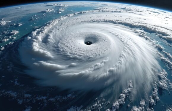
The world may be about to shift into a La Niña weather pattern, a development that would increase the risk of storms in the Atlantic as the height of hurricane season approaches there.
Forecasters at the US Climate Prediction Center have issued a La Niña watch, meaning that the surface of the Pacific Ocean is poised to cool. The weather pattern tends to reduce sudden changes in wind speed and direction in the Atlantic, allowing more storms to take shape.
Related: CSU, NOAA Maintain Forecasts for Above-Average Hurricane Season
The agency said there is a 53% chance the weather-changing phenomenon will form sometime in September, October and November, the last three months of the hurricane season. A month ago, the odds were 47% for the same period.
Forecasters expect a weak La Niña could form in the Northern Hemisphere’s fall and early winter, with sea surface temperatures in a key part of the Pacific falling at least 0.5C (0.9F) below normal. In addition to its storm-boosting effects, La Niña can bring more drought to Southern California and crop-growing areas of Brazil and Argentina, as well as heavier rainfall to mining regions of Indonesia and northern Australia.
Was this article valuable?
Here are more articles you may enjoy.
 Former Insurance Agent Sentenced to Jail for Fraud, Again
  Brown & Brown Estimates Cost of Howden-Driven Talent War Could Hit $60M in 2026
  Mapfre to Acquire Safety Insurance for $1.54 Billion in Cash Deal
  CBIZ Brokerage to Be Spun Off, Backed by Private Equity, After $5B Grant Thornton Deal