
As fire season ramps up, San Diego County, Calif. has unveiled a new online interactive map that allows residents to search out wildfire dangers in specific areas.
The San Diego Union-Tribune reported he digital tool launched this week expands on existing fire maps that haven’t been searchable until now.
Residents can enter an address to learn the degree of wildfire hazard and how to better prepare for an emergency.
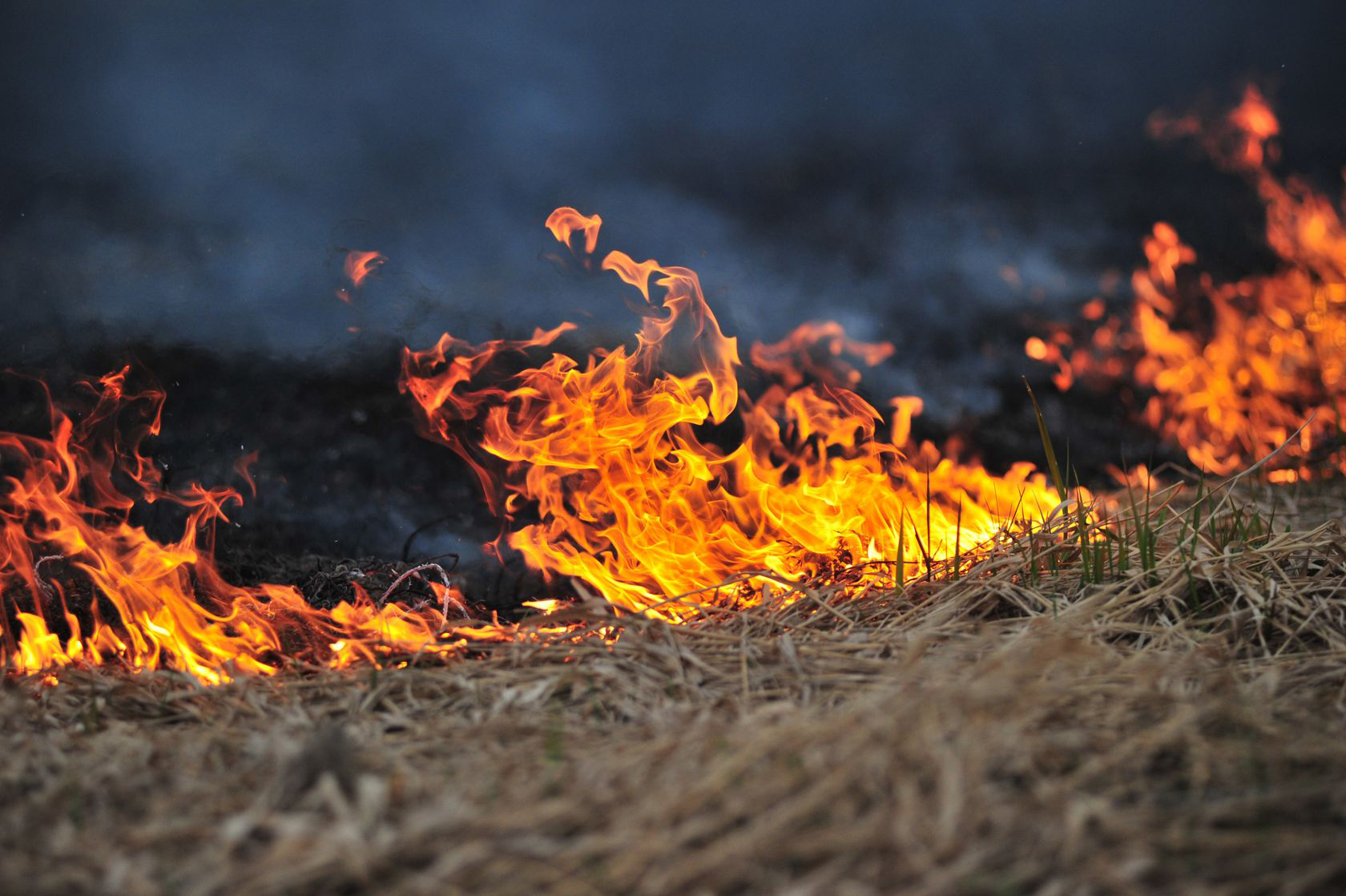 The map, accessible at ReadySanDiego.org, shows that roughly one-third of the county is in “high” or “very high” fire hazard zones, with most of those areas in San Diego’s backcountry.
The newspaper says the county’s worst-ever firestorms have historically occurred in October.
Related:
- California Insurance Commissioner Says More to Lose Fire coverage
- Farmers Estimates $225M Loss from Northern California Fires
- Massive California Blazes, And It’s Not Even Official Wildfire Season Yet
- California Blazes Destroy 2,000-plus Homes, Curb Insurer Appetites
Was this article valuable?
Here are more articles you may enjoy.
 3 Big Questions Facing FEMA With Kristi Noem Out
  Georgia Teacher Killed When Toilet Paper Prank by Students Goes Wrong
  Greek Oil Tanker Exits Hormuz Shipping Strait With Signal Off
  CRC Group CEO on Casualty: ‘It’s More About the Coverage’ Than Price