
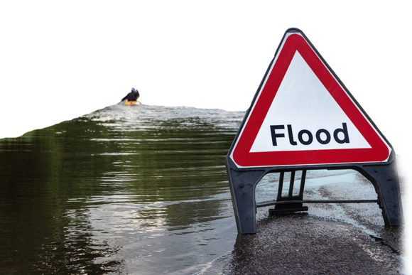
Burn maps from a northern Arizona fire have revealed a risk for post-fire erosion and flooding in populated communities.
The Arizona Daily Sun reports that the U.S. Forest Service published a burn severity map Wednesday revealing fire damage in a water-absorbing area just north of Flagstaff.
Forest officials say soil from more than half of the 2 square miles burned on the Spruce Watershed have turned into a non-absorbing glass-like substance leaving hundreds of acres at risk for natural hazards.
Officials say that any rainwater not absorbed would run down the mountainside toward several communities about 150 miles north of Phoenix.
City and county officials say the burn map could help evaluations on the quantity and speed of flood waters to better prepare affected communities.
Topics Flood
Was this article valuable?
Here are more articles you may enjoy.
 Mapfre to Acquire Safety Insurance for $1.54 Billion in Cash Deal
  As Parasite Spawned Chaos, Taylor Farms Slow-Walked Response
  Tropical Storm Watches Posted Across Florida’s Panhandle Region
  Berry Producer Driscoll’s Sued Over Alleged Greenwashing, Use of Forever Chemicals